Hook Point on Fraser is located at the southern most tip of Fraser Island. There is not much to look at, but it’s best known as the landing point for ferry services from Inskip Point Rainbow Beach to Fraser Island.
The actual barge landing area is a bit over a kilometres further south from the actual tip at Hook Point.
Driving Hook Point At Low Tide
Important: When driving on the beach you still must wear your seatbelt as it considered a gazetted road. All the normal road rules apply on all Fraser Island roads and beaches.
So when we get off the barge we still need to stay to the left and all the oncoming vehicles will pass on the right.
The maximum top speed limit is 80km/h, and there are a lot of 40km/h sections of the beach to keep an eye out for. The signs are sometimes hard to see – as they are high up on the beach from where you drive – especially if you are driving down near the water line at low tide.
They are usually located out the front entrances to the towns and resort where there a lot of people about.

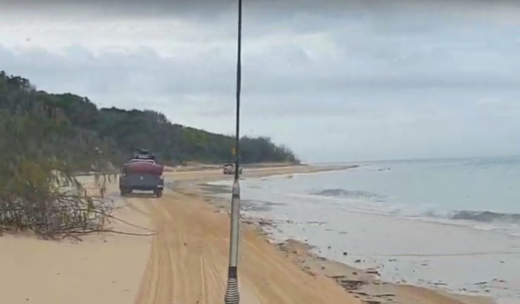
The Hook Point Driving Beach
As you get off the barge, turn right and head up the beach towards Hook Point, the beach in that area is usually the softest part.
This is because there is no surf in this area that washes the sand and flattens off the beach. So just go a bit steady in this area.
The beach can be difficult at times. If everyone drove in the same track it would be a bit easier, but the beach can be a bit of a mess with tracks all over the place. Making it a bit more difficult to drive along.
You just have to take the best path possible. Once you get onto the Seventy-five mile surf beach the driving gets a bit easier and you can travel at 80kn/h.

Whenever you get some oncoming traffic, I’ll indicate to the left just to let him know my intentions – as he is coming towards me and he also should indicate – so that you both know what’s going on. Otherwise you could end up having an head-on and/or confusion.
Give way to the large tour buses in this area. About 450,000 visitors come to the island each year and most of them come on buses like these.
Try to avoid driving in the sea, only because it not very good for your vehicle. So if you do have to touch the water, go very slowly as not to spray it up all under your vehicle.
Only drive around Hook Point at low tide or two hours either side of low tide. I will be impossible to pass Hook Point at high tide.
Otherwise you should use the inland track to by-pass Hook Point instead.
How To By-Pass Hook Point at High Tide
If you happened to get caught out and miss the tide or get delayed for whatever reason, there is a little track that you can use to get around hook point at high tide.
At high tide these surges can push you up high onto the sand banks and actually trap you as the water comes racing in.
It goes 11 km inland along the beach and you will by-pass hook point.
The inland beach track is just up the beach from the barge landing. Turn right off the barge once you drive off the Barge at Hook Point and keep an eye out as you drive up the beach for the signs to the entrance to the inland beach track.
It will be on your passenger (left) side about 500m if your travelling north.
If you are travelling down south back to the Barge at Hook Point you will enter the inland track just past the Dilli Village Turnoff.
Keep a look out for the sign in the dunes.